The East Troublesome and Williams Fork fires scorched almost 200,000 acres across Grand County this summer and fall, and new assessments from the US Forest Service detail how badly the land was burned.
Soil burn severity maps cover a fire’s entire perimeter and serve as important reference tools that span multiple jurisdictions. For that reason, the Forest Service sees these maps — also known SBS maps — as one of the most valuable work products that a Burned Area Emergency Response assessment team can produce.
The new BAER assessments for the East Troublesome and Williams Fork fires were released on Thursday, along with the SBS maps for the two fires.
The assessments focus on post-fire threats to life and safety, property, natural resources, and cultural resources on national forest lands, along with offering some recommendations for how local, state and federal officials might mitigate the aftereffects.
The assessment teams do this by trying to determine soil burn severity and where post-fire snowmelt and precipitation events could lead to increased runoff, flooding, erosion, sediment delivery and heightened debris flows.
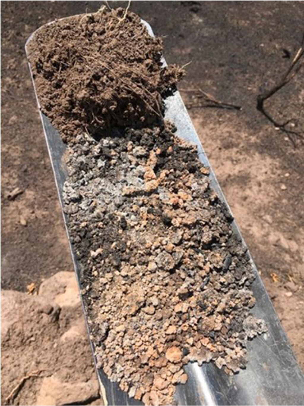
What is soil burn severity?
According to the Forest Service, the first step for identifying post-fire threats is to develop an SBS map documenting the degree to which soil properties have changed from fire.
Fire damaged soils can have low strength, high root mortality and increased erosion rates, especially as the severity of the fire damage worsens.
The SBS maps break the damage down into four classifications — high, moderate, low and unburned — decided by soil properties such as forest floor cover, ash color, integrity of roots and their structure, and water repellency.

Courtesy US Forest Service
Areas of low and unburned SBS have minimal effects to the soil, and therefore little to no noticeable impacts post-fire. At the same time, moderate SBS indicates that some soil properties have been affected with up to 80% of the duff and litter layer that absorbs precipitation like a sponge being consumed by flames.
On the extreme end, a high SBS shows significant alterations to the soil with the complete consumption of littler and duff, a loss of root viability and changes that can lead to increased erosion and runoff.

Courtesy US Forest Service
The East Troublesome
First reported Oct. 14 in the Arapaho National Forest, the East Troublesome spread over 10,000 acres in three days and became the largest blaze in Grand County history when the blaze exploded from 18,550 to 187,964 acres from Oct. 20-23. The cause is still under investigation.
Like many wildfires this summer and fall, the Troublesome blaze was fueled by widespread drought, dead and beetle-killed trees, high winds and poor overnight humidity recovery.
Its flames crossed Colorado Highway 125 on Oct. 21 and raced east into the Rocky Mountain National Park, jumping over the Continental Divide and reaching the western edge of Estes Park on Oct. 23.
Two teams from the Forest Service were required to complete the BAER assessment, and early season snowfall hampered their efforts and kept them from conducting a field survey in most of the burned area.
While the US Forest Service has created a SBS map for the entire fire outside Rocky Mountain National Park, the report notes that “a significant assessment workload of other critical Forest Service values remains and will be resumed in late spring 2021.”
According to the assessment, most of the land affected by the Troublesome fire falls under the jurisdiction of the National Forest Service with 132,916 acres of national forest burned.
However, more than 19,600 acres of private property also burned in the fire, and another 17,858 acres of land administered by the Bureau of Land Management were affected. The smallest portion of the burned area — 832 acres — is state-owned.

Interestingly, 37% of the land suffered only low SBS damage, 48% sustained moderate SBS and 5% saw high SBS. Only 10% of the land included in the East Troublesome Fire’s perimeter was characterized as unburned.
With an estimated 53% of the affected area seeing high or moderate SBS, there will be an increased potential for erosion and flooding, especially in areas with high SBS, according to the assessment.
The assessment also warns that areas that flood or had high debris flows pre-fire are likely to see larger magnitude events post-fire. Also, areas that occasionally flood or have debris flows could see more frequent events, and areas that previously did not have stream flow or debris flows may now flood or have debris flows.
The predicted erosion rates are not expected to affect long-term soil productivity, but increased erosion can result in downstream sediment delivery that bulks flows and increases flooding effects. Increased erosion can also block culverts and other infrastructure, and degrade water quality.
“This elevated post-fire response will gradually diminish as vegetation and groundcover levels recover each growing season, although some impacts including elevated snowmelt runoff are likely to persist for a decade or longer,” the report states, explaining that the degree of watershed response will be commensurate to the soil burn severity.

Courtesy US Forest Service
Williams Fork Fire
The final BAER assessment for the Williams Fork Fire was completed Oct. 2, though after its completion, the fire kicked back up and the perimeter grew on the northern and southern ends.
The Williams Fork Fire was fueled by exactly the same conditions that allowed the East Troublesome Fire to get so big so fast.
Overall, the assessment found an estimated 60% of the area within the Williams Fork Fire perimeter had high or moderate SBS.
“Increased erosion and flood flow potential are expected within and from these areas,” the report concluded, adding that the potential for erosion will be contingent on a variety of characteristics, such as soil texture, rock fragment content, slope and the soil burn severity and distribution.
With limited options for reducing post-fire peak stream flows, soil erosion and debris flows with either the Williams Fork Fire or the East Troublesome Fire, both assessments recommend focusing on mitigation measures to minimize threats to life and safety, and damage to property.
These measures could be road and trail closures, trail stabilization, campground treatments and warning signs.
Additional road and weed treatments, and other treatments to protect natural and cultural resources could be necessary during a follow up assessment that’s expected later in the spring or early summer.
East Troublesome Fire BAER report.pdf
Williams Fork Fire BAER report.pdf
This story is from SkyHiNews.com.


